Major Roads and Highways Connecting KIADB Phase 2 Devanahalli – 2026 Update
Major Roads and Highways Connecting KIADB Phase 2 Devanahalli – 2026 Update are NH-44, also known as Bellary Road, forms the main link to the airport and the city. The Satellite Town Ring Road, or STRR, is coming up as a new orbital highway nearby. SH 104 runs around the airport side and ties into many local roads.
Wide, 32-metre KIADB roads carry traffic from the park gate to these highways in minutes. Together, these roads cut travel time to the airport down to 10 to 15 minutes on most days.
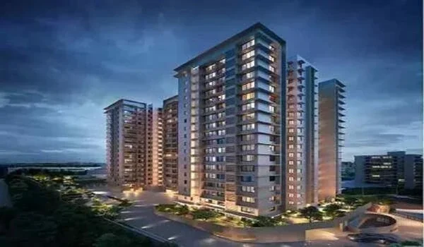
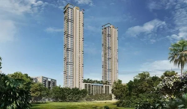
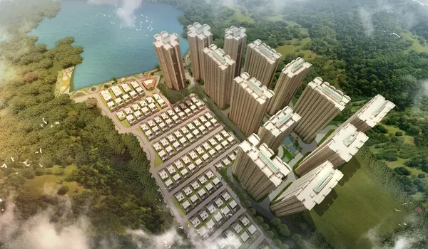
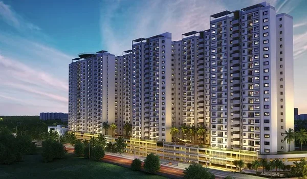
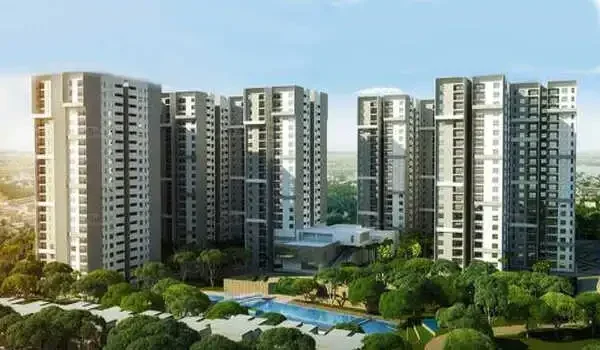
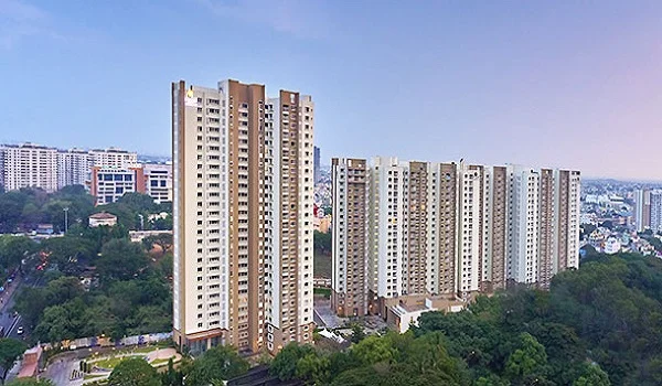
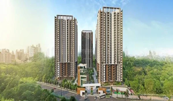
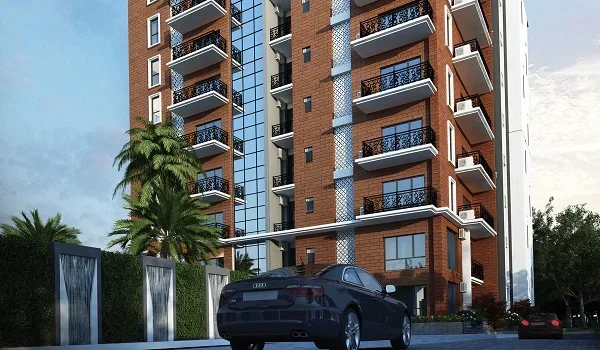
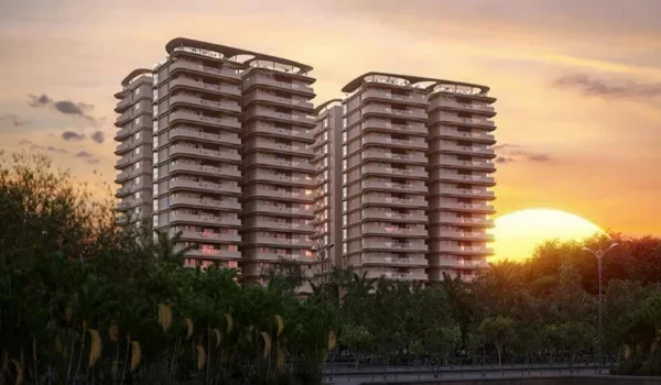
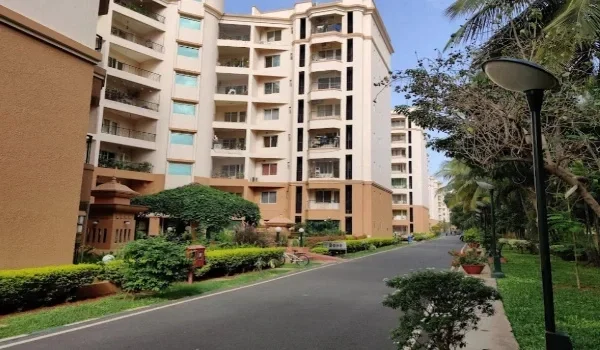
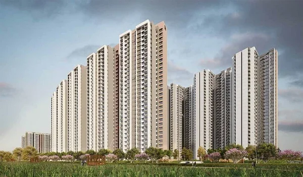
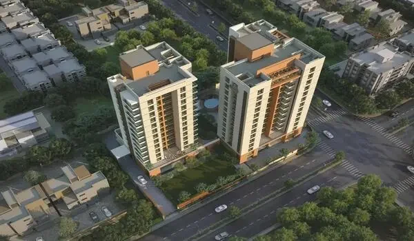
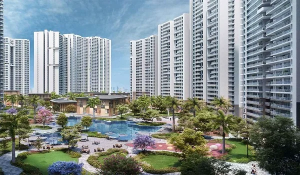
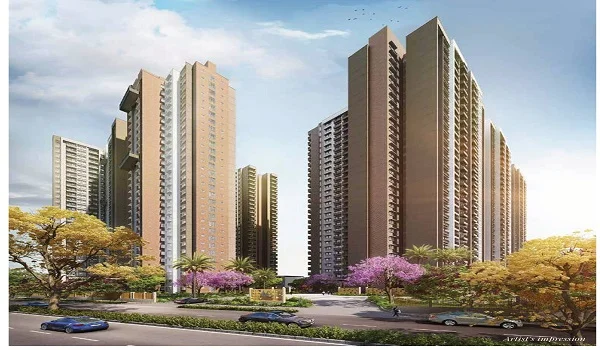
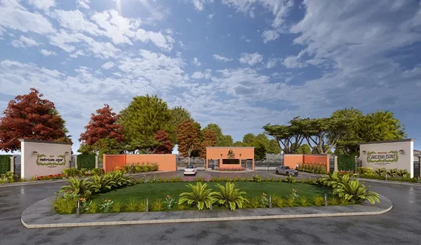
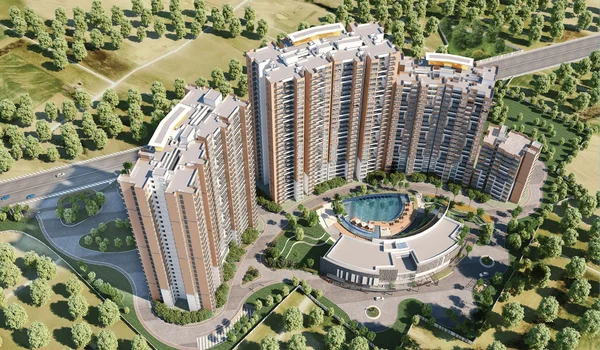
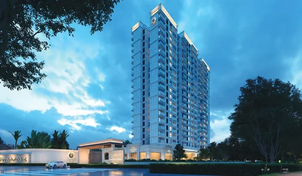
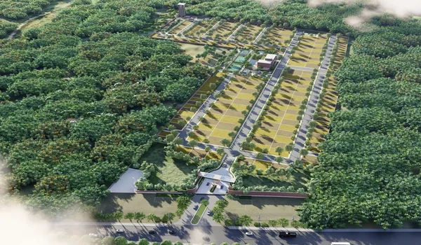
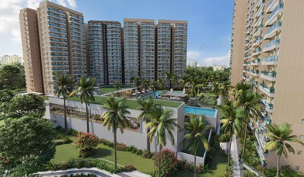
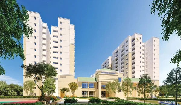
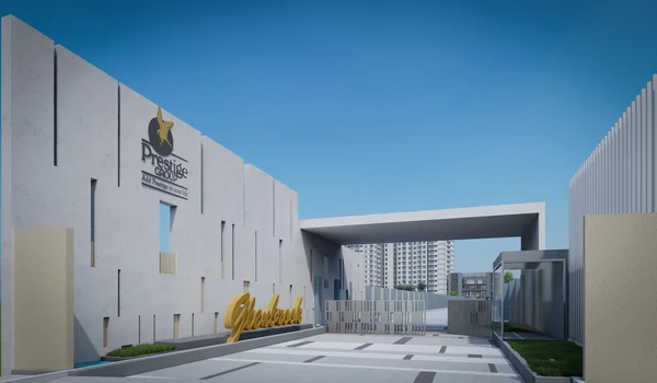
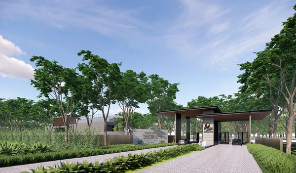
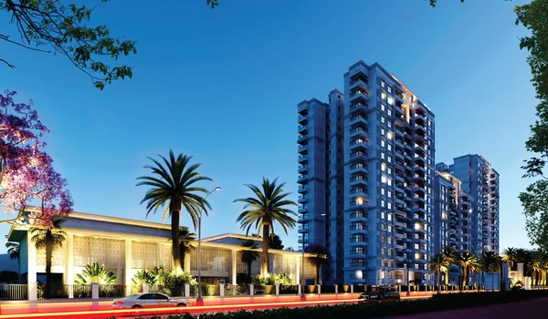
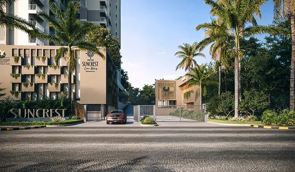
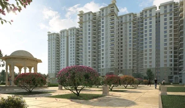
The area is home to several housing options like Prestige Parklane, sitting right inside this well-linked road grid. It spans 32.26 acres in the Haraluru and Muddenahalli belt, inside KIADB Aerospace Park Phase 2.
Homes take up 11.91 acres of the site, with the rest set aside for an enterprise estate and data centre blocks. Fast, direct road access to NH-44 and the airport gives this project a clear edge over older, land-locked addresses in North Bengaluru.
Internal and Approach Roads Inside KIADB Phase 2
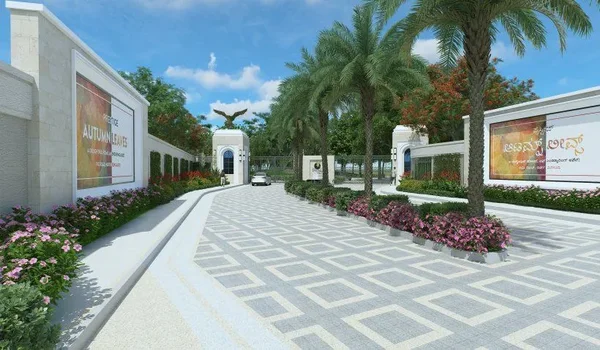
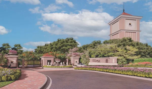
Every plot inside KIADB Aerospace Park Phase 2 sits on a wide, planned road grid. The main internal roads run 32 metres wide, built for both cargo and daily car traffic. These roads link each block to the park's main gate within a few minutes.
From the gate, traffic joins NH-44 or the airport perimeter road with ease. This grid design keeps heavy trucks away from housing blocks, using separate lanes where needed. KIADB is also upgrading feeder roads to match future metro and bus stops nearby.
NH-44: The Primary Highway Through Devanahalli
NH-44, or Bellary Road, is the single most used highway near KIADB Phase 2. It runs from central Bengaluru, past Hebbal and Yelahanka, right up to the airport. The stretch near Devanahalli carries fast-moving traffic, with very few tight turns or signals.
A drive from KIADB Phase 2 to the airport gate takes about 10 to 15 minutes on this road. Toward the city, the same highway takes drivers to Hebbal in 35 to 45 minutes. NH-44 also connects onward to Yelahanka, Jakkur, and the Outer Ring Road IT belt.
Satellite Town Ring Road (STRR)
STRR is an 83-km ring road that is currently being constructed around the Bengaluru region. This road runs through 18 cities/towns such as Doddaballapur, Devanahalli, Hoskote, and Sarjapur. The STRR has NH 948A and NH 648 designations on different sections of the road.
With the completion of the road, it will ensure that there are no traffic movements within the inner-city area. Truck and employee bus movements can enter STRR near Devanahalli and bypass the Hebbal junction completely. For residents of KIADB Phase 2, the result is quick connectivity to other satellite towns.
Other Key Roads and Highways in the KIADB Phase 2 Belt
A few more roads add to the strong highway network around KIADB Phase 2. SH 104 runs close to the airport side and links many smaller local roads. NH 75 and SH 9 offer added routes toward other parts of North Bengaluru.
The Peripheral Ring Road, or PRR, is a planned link that will ease cross-city travel further. The table below sums up the main roads and what each one connects to.
| Road / Project | Route / Connects To | Key Destinations | Status / Travel Time |
|---|---|---|---|
| NH-44 | Bellary Road | Airport, Hebbal, city centre | 10–15 min to airport |
| STRR | NH 948A / NH 648 | Doddaballapur, Hoskote, Sarjapur | Under construction |
| SH 104 | Airport Ring Road | Local roads near airport | 5–10 min |
| NH 75 | — | North Bengaluru towns | 15–20 min |
| PRR | Peripheral Ring Road | Cross-city bypass | Planned |
Metro's Route Near KIADB Phase 2: Blue Line Phase 2B
Namma Metro's Blue Line will bring the first rail link to this part of Devanahalli. The full line runs 58.19 km, spread across 29 stations end to end. Phase 2B alone adds 16 new stops along the stretch north of Hebbal.
This train runs via Kodigehalli, Bettahalasuru, Doddajala, and Airport City in sequence. Further from Doddajala, it goes up to KIAL Terminals, which is located within the airport. The Metro is adjacent to NH-44 for almost all of its run here, thus aiding the bus connections.
BMRCL expects trains to start running on this branch by mid to late 2027. Full links to the Central Silk Board, further south, should follow by early 2028.
Metro Fare and Timings for This Stretch
Namma Metro fares follow a slab system, based on trip length, split into 10 zones. Short trips under 2 km cost as little as Rs 10 per ride. Longer trips past 30 km are capped at Rs 90 per ride. Smart card users also get a 5% cut on fares during busy hours.
The metro trains operate from early morning at about 5:00 AM up to 11:00 PM at night for the majority of Namma Metro routes. The trains are spaced apart by 4 to 5 minutes during rush hours. At the same time, they can be seen every 8 to 10 minutes during other times.
How This Road and Highway Network Is Shaping the Property Market
Strong road links are expected to increase home prices even before the new line is opened. This trend is visible both in KIADB Phase 2 and the broader Devanahalli region. The prices for land and flats around NH-44 and the STRR route have been increasing yearly since 2023.
Brokers report gains of 15% to 25% in some pockets close to the highway grid. Projects like Prestige Parklane stand to gain from this trend in a direct way. Its spot near NH-44, STRR, and two future metro stops adds long-term value.
Buyers see this as a bet on future ease of travel, not just current road access. Rental demand should also grow as more firms move into the aerospace park. Aerospace, defence, and airport staff often prefer homes with short, direct highway links.
Once STRR and the metro line go fully live, average commute times should fall further. A 40-minute road trip today could take much less time once both open fully. This shift tends to push both rent and resale prices higher over a few years. Buyers who enter at the pre-launch stage hope to gain from this rise early.
FAQs
The key routes include NH-44, future STRR, and SH 104. 32-meter-wide internal roads connect to the expressways in a few minutes.
KIADB Phase 2 sits about 10 to 15 minutes from the airport on NH-44. This makes it one of the closest industrial and housing belts to KIA.
STRR is a ring road of 280.8 km, which connects 18 satellite towns in Bengaluru. This allows traffic to pass through the city without passing through the city center and reach satellite towns easily.
Yes, as the Prestige Parklane project falls inside KIADB Phase 2, it is in proximity to NH-44 and STRR. It allows easy access to the airport from the project within a short time.
Yes, due to the new roads and metro lines, property rates around NH-44 have increased by 15% to 25% since 2023.