Prestige Parklane Video

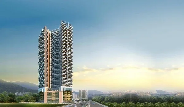
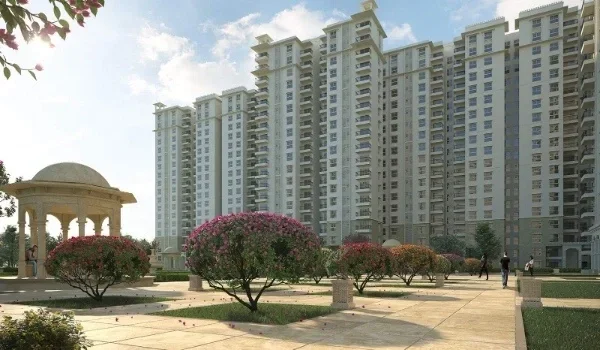
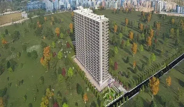
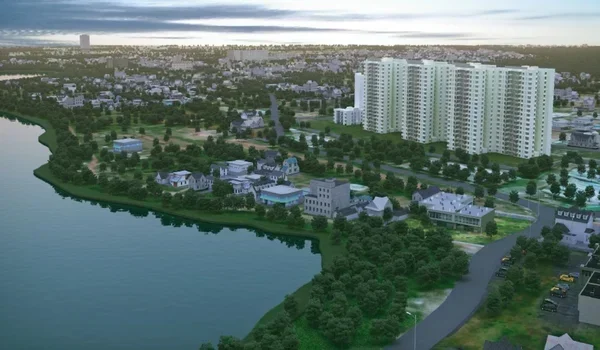
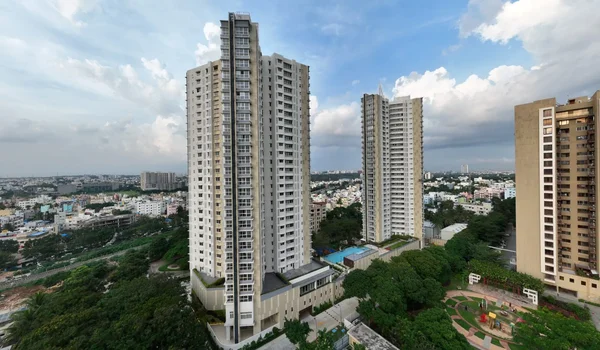
Prestige Parklane's video is a large virtual tour of the 32.26-acre township, showcasing its towers, business park, and amenities. It shows the master plan and aerial layout of the location, giving buyers a real-time feel for the project. This video helps buyers understand the site without visiting in person.
There is an aerial recording of the township covering its master plan, towers, business park, and central park. This helps buyers get useful information without a physical site visit. The gallery includes this virtual tour alongside photos and renders.
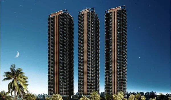
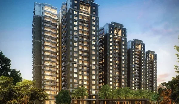
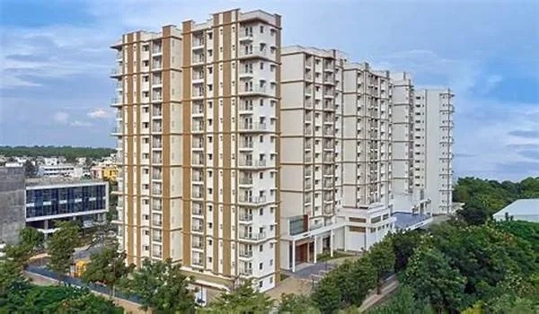
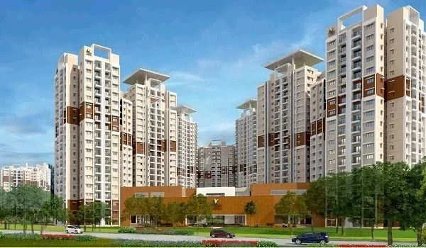
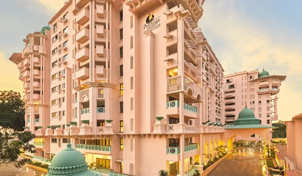
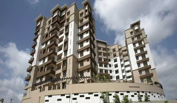
Prestige Parklane is a mixed-use township on the North Bangalore airport corridor. The residential township is set on 11.76 acres and holds 9 residential towers. It is alongside an on-site business park. The visual presentation covers small to large features across the township.
The video covers not just the project site, but also nearby roads and facilities. It gives customers an overall view of the location and connectivity that supports better decision-making. This virtual tour works as a helpful guide for prospective buyers.
Location
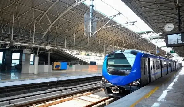
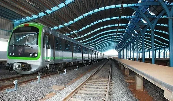
The video gives a glimpse of the Hitech Defense & Aerospace Park Phase-2 belt and its surrounding roads in Bengaluru North. It focuses on Satellite Town Ring Road, NH 44, and the airport corridor around it. This video will provide valuable information for buyers about the area.
Apartments
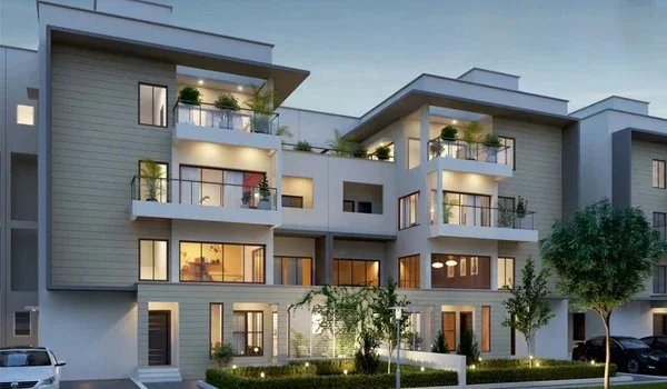
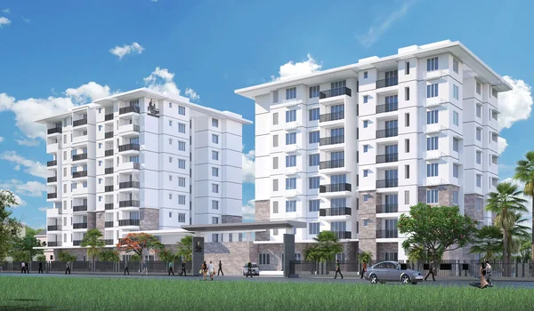
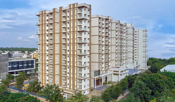
The video shows the interior and exterior of the 1, 2, and 3 BHK apartments for sale. Their sizes range from 567 sq. ft. to 1801 sq. ft. which is explained in the tour. The tour of model units shown describing the placement of rooms, kitchen, balconies, and drawing room.
This helps buyers understand the layout of the flat along with getting an idea as to, ‘how to design their own unit’.
Amenities
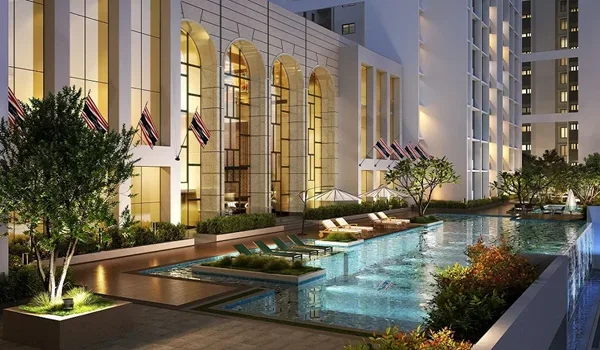
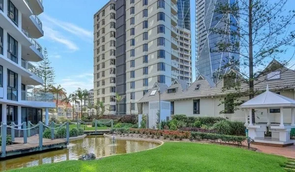
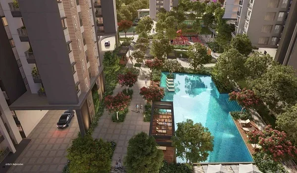
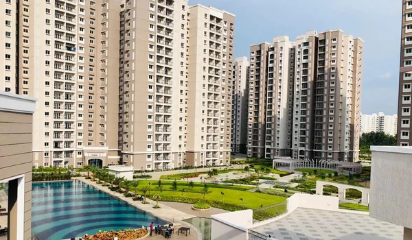
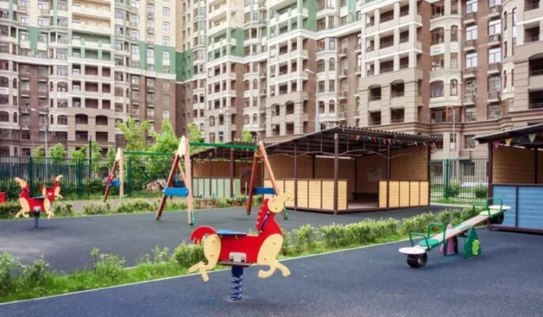
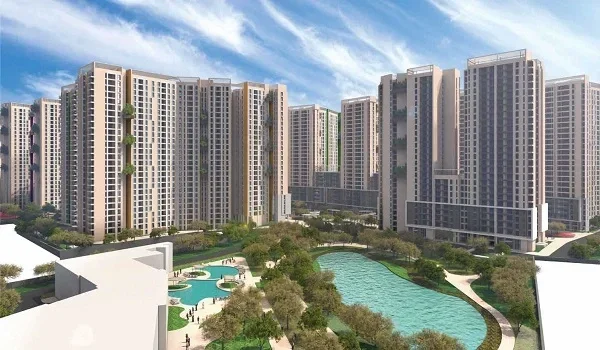
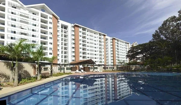
The video reveals the facilities of the township through overhead shots and animations. The buyers get to view the clubhouse area, the centrally located park, and the lake within the residential complex.
Business Park and Enterprise Zone
The video also covers the project's dedicated business park, sitting across the central boulevard from the homes. It shows the warehouse, manufacturing, and data centre blocks planned within this zone. Buyers can see how residential and enterprise spaces are laid out side by side.
Entire Property
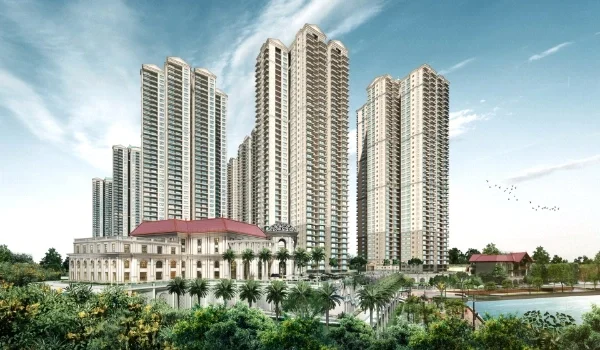
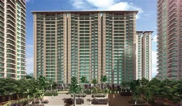
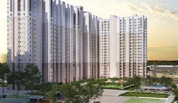
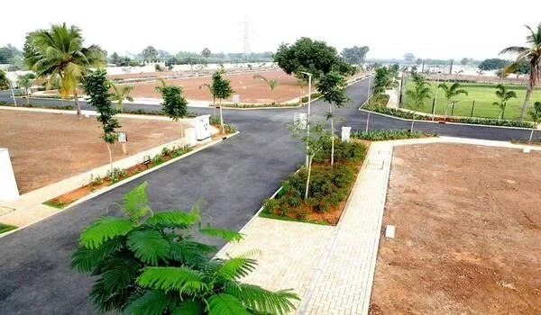
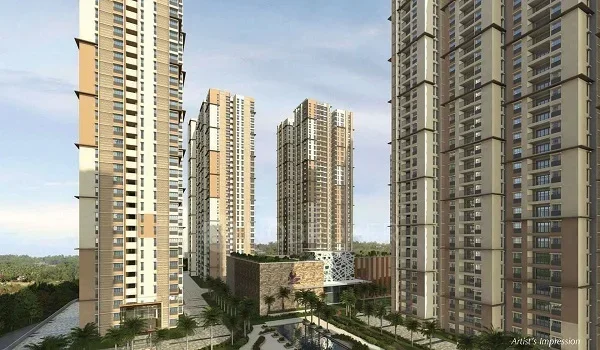
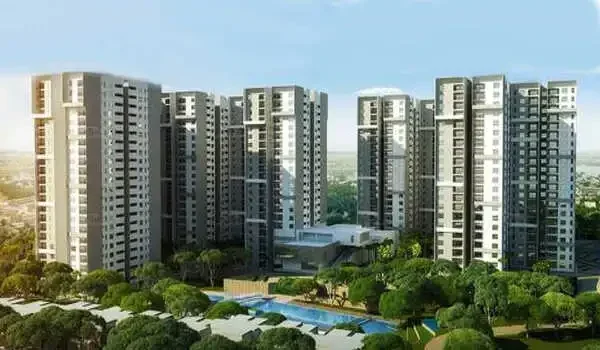
The video takes viewers through the whole design of the township, including the residential towers, central park, and business park as well. The video brings out how the internal roads, lined with trees, keep the houses separate from the enterprise zone.
Animated Views
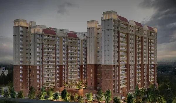
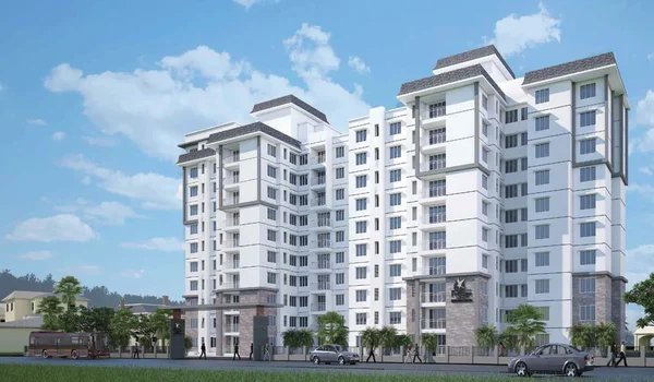
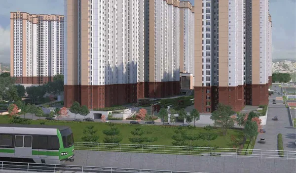
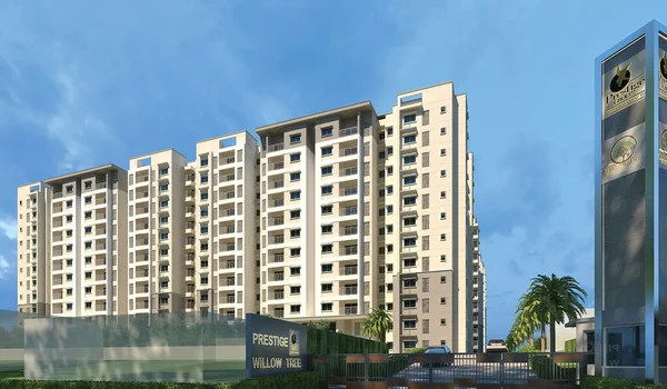
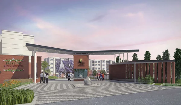
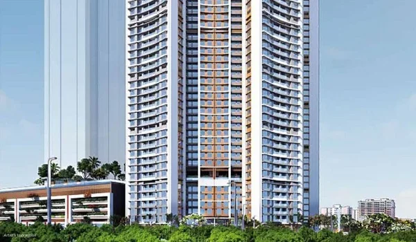
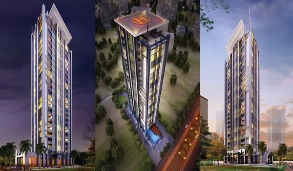
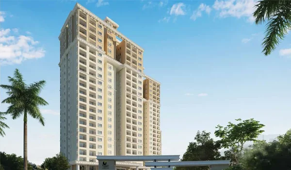
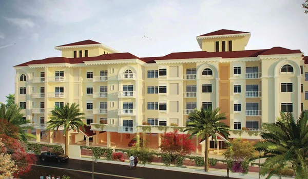
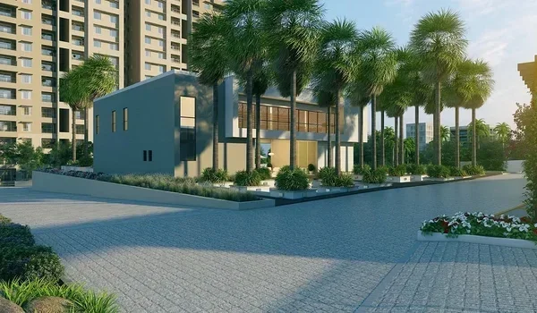
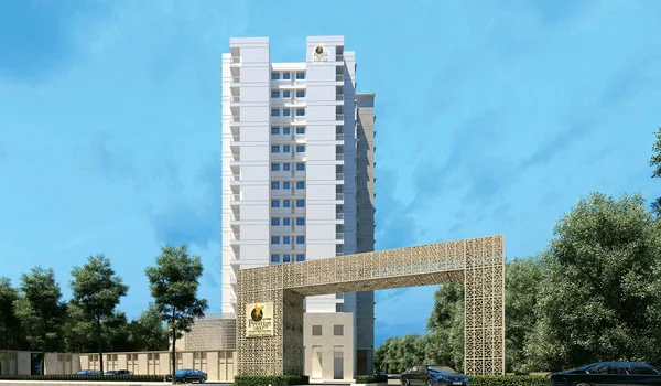
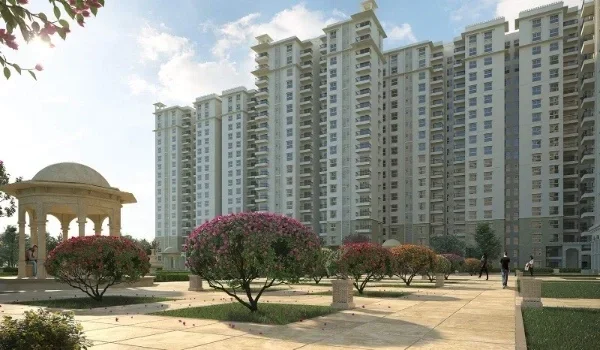
The video contains animated visuals depicting what the township would look like once completed. Such visuals assist potential buyers in visualizing their lifestyle in the estate.
This motivates them to approach the sales force. Because of the pre-launch nature of the project, such renders depict the design but not the completed building.
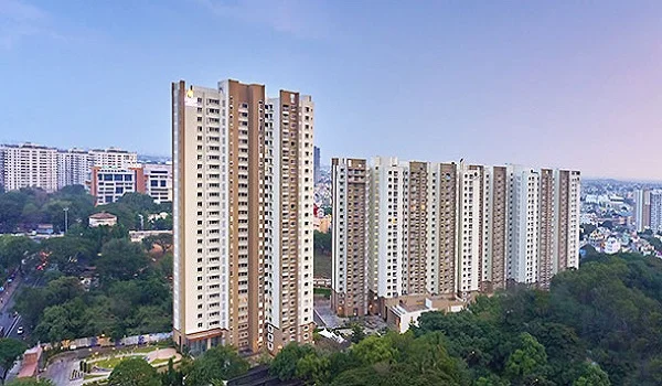
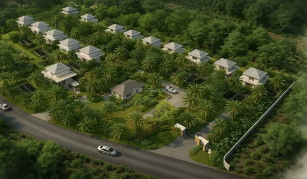
Drone footage is crucial in modern project videos like this one. It shows the scale of the township and gives a smooth aerial view of the land parcel. Drone shots of Prestige Parklane highlight the site's proximity to the Satellite Town Ring Road and the wider Bengaluru North belt.
Subsequently, the video progresses towards the residential blocks as well as the business park area. Here, the structure is clearly shown in detail with emphasis. This includes the central park, the body of water, and the trees along the internal roads of the development.
Overall, the video captures the essence of Prestige Park Lane's planned township. It gives viewers a clear sense of the layout, connectivity, and mixed-use design offered here.
FAQs
It depicts the location of the township, the master plan of the township, central park, amenities, and the business park.
Yes, drone footage highlights the scale of the 32.26-acre site and its connectivity to the STRR.
The video currently focuses on the master plan and renders, since detailed unit layouts will be released closer to launch.
It is normally available via the project's official gallery, along with images and drawings.
Yes, it includes details about the roads around the location, such as NH 44 and Satellite Town Ring Road.