
Prestige Parklane Location
Find Us
Devanahalli | North Bengaluru
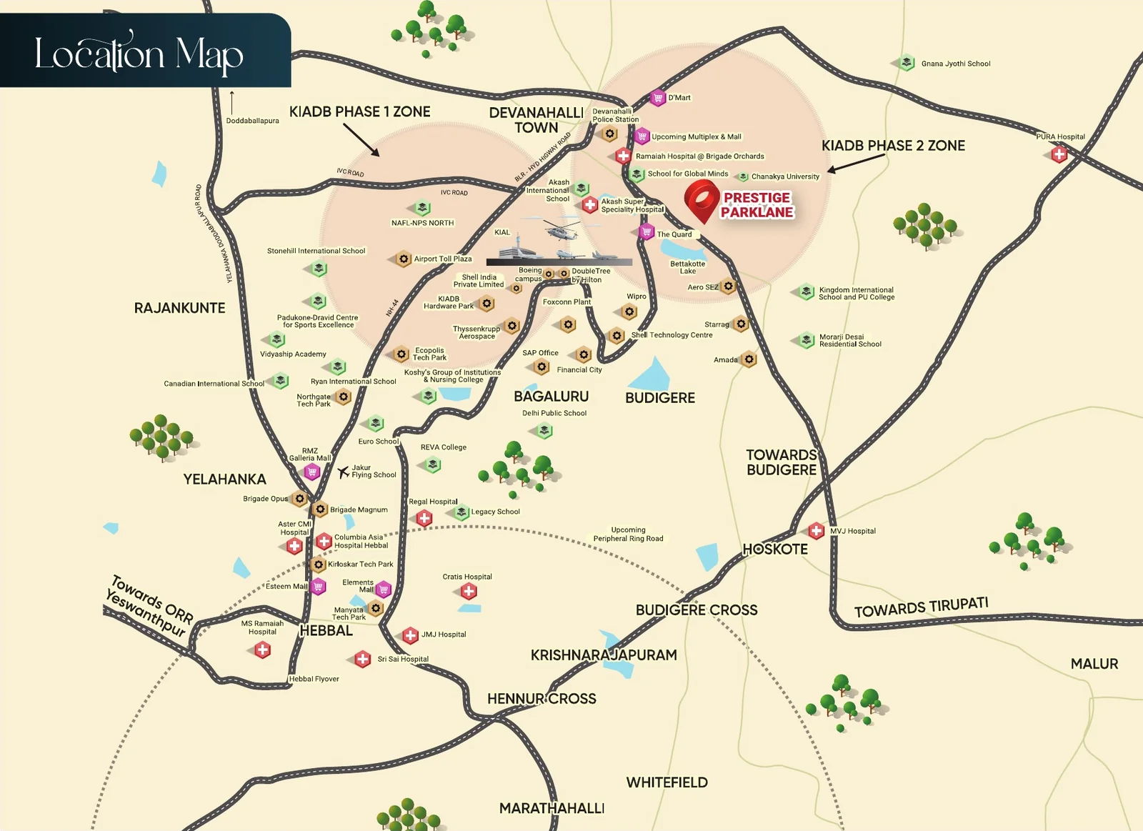
Prestige Parklane on the map
Prestige Parklane location is at Plot No. 24, KIADB Hi-Tech Defence and Aerospace Park Phase 2, in the Haraluru–Muddenahalli area of Devanahalli Taluk, North Bengaluru. The site coordinates are 13.212962, 77.767110, and the address uses PIN 562110. The project is about 2 km from the Satellite Town Ring Road (STRR), 8.7 km from Devanahalli town and around 20 km by road from Kempegowda International Airport.
The Prestige Parklane Devanahalli location is inside an industrial estate, east of the airport and away from the town centre. That puts KIADB Phase 2 workplaces closer than the main Bengaluru IT districts. Yelahanka is roughly 29 km away, while Manyata Tech Park and Whitefield are each around 40 km by the distances on the current project page. This difference matters more to a daily buyer than calling every destination “well connected.”
Where Is Prestige Parklane in Devanahalli?
Prestige Parklane is in the Haraluru–Muddenahalli part of KIADB Aerospace Park Phase 2. Haraluru and Muddenahalli identify the local land area. Channarayapatna is the hobli, and Devanahalli is the taluk. The project is not in Devanahalli town centre, even though property listings often shorten its address to “Devanahalli.”
For a first visit, enter 13.212962, 77.767110 in your map app. Searching only for Devanahalli may take you to the town. Searching for Aerospace Park can take you to another part of the large KIADB area. The coordinate pin identifies the project parcel; ask the site team for the gate used for visits.
Prestige Park Lane Location Map: What It Shows
The Prestige Park Lane location map places the site east of Devanahalli town and the airport, close to the STRR. It also marks the Nallur Toll Plaza and roads leading through the KIADB industrial layout. This gives a useful area view, but it does not show a confirmed turn into the visitor gate.
The map is most useful when read with the address. KIADB Phase 2 is the industrial layout containing the site. Haraluru–Muddenahalli narrows down its local position. Plot No. 24 and the GPS pin identify the parcel. These details are more precise than “near Bangalore Airport,” which can describe a wide area on several sides of the airport.
Prestige Parklane STRR Access and Road Approach

Prestige Parklane STRR access is through the KIADB internal roads. The project material places the ring road about 2 km from the site. STRR, also called NH 648, connects this belt towards Hoskote in one direction and the Doddaballapur side in the other. NH 44 is the main road used for travel towards the airport and much of northern Bengaluru.
The short distance to STRR does not mean every journey takes two minutes. The starting gate, direction of travel and toll point affect the route. When visiting, set the project pin first, then confirm the final entrance. If you will use STRR every day, test the journey at your usual work hour and check whether your route passes a toll plaza.
Prestige Parklane Distance from the Airport
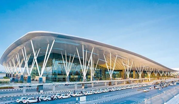
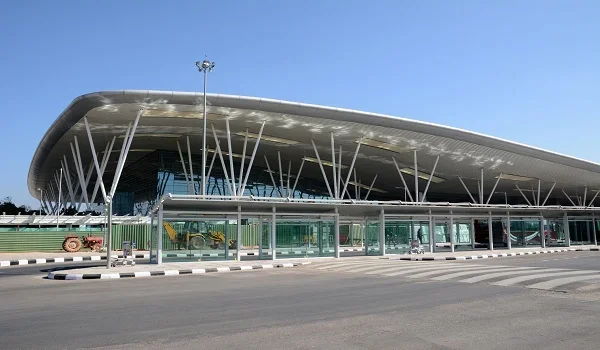
The Prestige Parklane distance from Kempegowda International Airport is about 20 km by road. The site looks closer when viewed across the airport land on a map. A passenger, however, must follow the roads around to the terminal entrance. The map gap is not the same as a terminal journey.
This difference is worth checking if you work at the airport or fly often. Test the route to the terminal you use, at the time you usually travel. The same check applies to an airport-area workplace: its location outside the terminals may give it a very different drive from the passenger drop-off point.
What Is Actually Near Prestige Parklane in KIADB Phase 2?
Prestige Parklane KIADB Phase 2 is an address within a working and developing industrial area. Exide Energy Solutions has a battery-cell facility in Phase 2. Carl Zeiss also has a facility in the Phase 2 industrial area. The MSME Technology Centre is at Plot No. 6 in the Devanahalli Aerospace Park estate. These are more useful local references than a broad list of companies spread across North Bengaluru.
Do not treat every aerospace company named in a Devanahalli article as a neighbour of this plot. The wider aerospace park includes more than one phase and covers a large area. A workplace in Phase 1, at the airport or elsewhere in Devanahalli can still require a substantial road trip. Check the employer’s gate and route from Prestige Parklane before calling it a walk-to-work location.
Latest Developments near Prestige Parklane — October 2026
On 23 September 2026, Exide Energy Solutions completed commissioning Phase I of its lithium-ion cell plant at Devanahalli. The announced first-phase capacity is 6 GWh. The facility is in the KIADB Hi-Tech Defence and Aerospace Park Phase 2 area. It is a concrete addition to the local industrial base, though commissioning alone does not tell us how many people will work there or live nearby.
On 10 September 2026, the Union MSME ministry inaugurated a Technology Centre in the Devanahalli Aerospace Park estate. The centre covers 10 acres, was developed with an investment of ₹156 crore, and focuses on electronics design and manufacturing skills. It adds training and production facilities to the industrial area; it is not a shopping or residential facility.
On 7 July 2026, the contractor Zamil Steel reported completing the building structure for a Carl Zeiss manufacturing facility in Devanahalli. Carl Zeiss has Phase 2 plot references in the industrial area. The construction report confirms building progress, but it should not be rewritten as a claim that the plant began full operations in July.
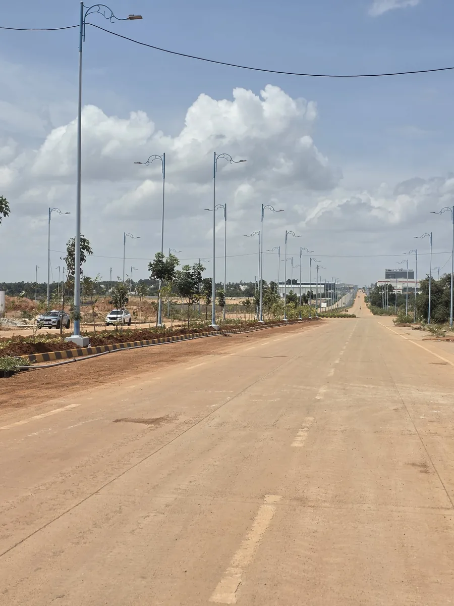
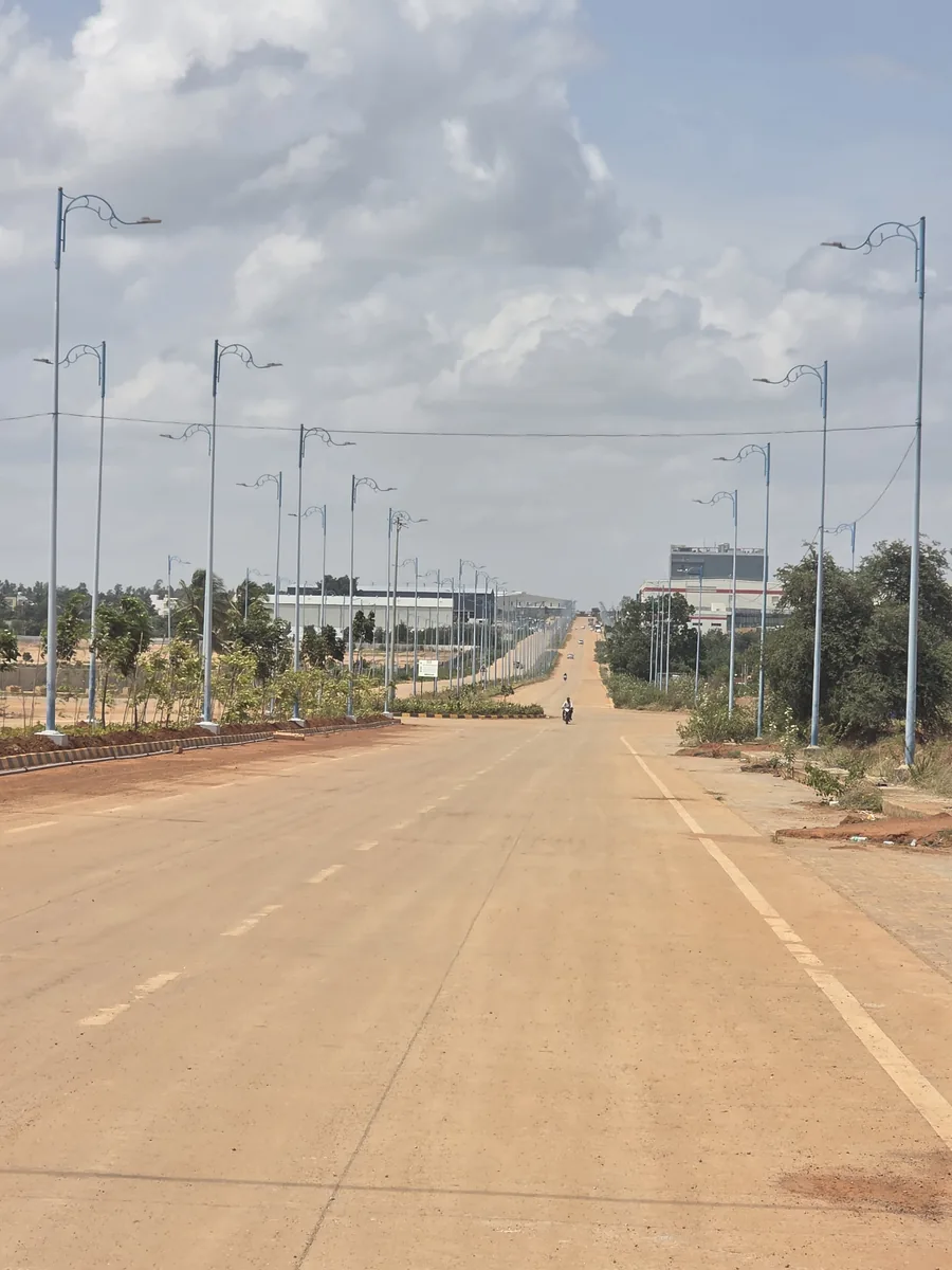
Roads Serving the Site — 29 August 2026
Photographed on site at KIADB Aerospace Park Phase 2, Devanahalli.
Prestige Parklane Nearest Metro Station and Railway Access
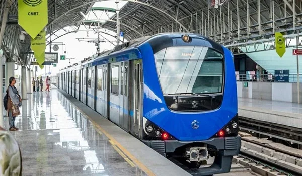
There is no operating Metro station inside Prestige Parklane or KIADB Phase 2. Namma Metro’s Blue Line is being extended towards the airport, with stations planned along that corridor, including Doddajala and Airport City. A resident would still need road transport from the project to a station. The page should not describe an upcoming Metro stop as if it already serves the site.
Devanahalli Railway Station is a separate rail option on the town side. It is useful only if its train services fit your journey, since you must also travel between the station and the project. For most current trips from KIADB Phase 2, road transport remains the direct option.
Schools and Hospitals near Prestige Parklane

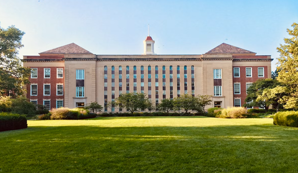
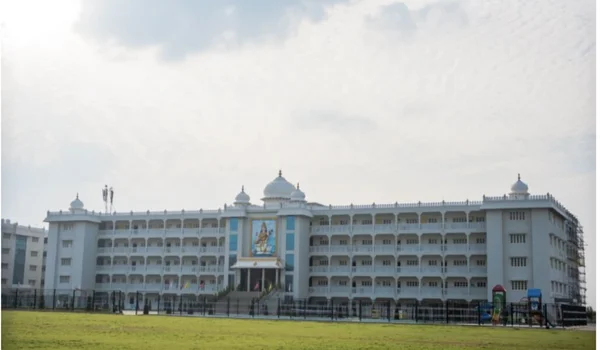
The School For Global Minds at Brigade Orchards is listed about 7.4 km from the project. Akash International School on Prasannahalli Road is listed about 10.5 km away. Chanakya University has a campus in the Haraluru area. These places serve different age groups, so a family should check the route and school bus stop for the institution they need.
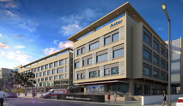
For healthcare, the current page lists Ramaiah Leena Hospital at about 9.4 km and Akash Super Speciality Hospital at about 10.7 km. Both are in the wider Devanahalli area. Check the driving route and emergency services directly with the hospital. Listing a hospital 30 or 40 km away as “nearby” does little to help a family judge this location.
Shopping and Daily Needs near the Site
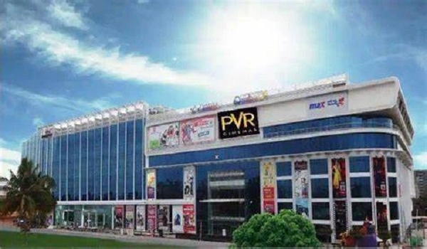
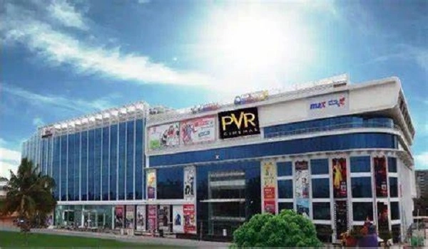
Devanahalli town, around 8.7 km away, is the more practical place to check for regular shops, banks and local services. The airport’s retail areas are roughly 20 km away by road and mainly suit an airport trip. Larger malls towards Yelahanka and other parts of North Bengaluru are farther away.
The immediate KIADB setting is built around industry and institutions. During a site visit, check the shops that are actually open near the approach road and the route you would take for groceries. That gives a better answer about daily convenience than a list of distant malls.
Key Distances from Prestige Parklane
The following are approximate road distances from the current project material. They describe different kinds of trips, so do not read them as equal commute options.
- STRR/NH 648: about 2 km; the main regional road link.
- Devanahalli town: about 8.7 km; local shopping and services.
- Kempegowda International Airport: around 20 km to the terminal area by road.
- Yelahanka: about 29 km; a longer North Bengaluru trip.
- Manyata Tech Park and Whitefield: around 40 km; test these as daily commutes.
- Majestic: about 45 km; a city-centre journey
Is the Prestige Parklane Location Right for Your Daily Route?
The Prestige Parklane location is most direct for someone whose regular destination is within KIADB Phase 2, Devanahalli or the wider airport-side industrial belt. The nearby STRR gives another road option for regional travel. Schools and hospitals are available in the wider Devanahalli area, though most require a drive.
The trade-off is clear on the map. This is an industrial-estate address, not a flat beside a Metro station or a home in central Bengaluru. Visit on a working day. Drive to your actual office, school or hospital from the project pin, then check the return trip. That will tell you more about this location than a general “airport corridor” description.
Prestige Parklane Location FAQs
Prestige Parklane is at Plot No. 24, KIADB Hi-Tech Defence and Aerospace Park Phase 2, in the Haraluru–Muddenahalli area of Devanahalli Taluk. Its map coordinates are 13.212962, 77.767110.
No. The project is within Devanahalli Taluk but sits inside KIADB Phase 2. Devanahalli town is about 8.7 km from the site.
The project material places STRR about 2 km away. Kempegowda International Airport is around 20 km by road to the terminal area.
No. The airport Blue Line is under development, and there is no operating station at the project. A road trip will be needed to reach a station when that corridor opens.
The site is inside KIADB Aerospace Park Phase 2. Exide Energy Solutions and Carl Zeiss have Phase 2 facilities, and the MSME Technology Centre is in the Devanahalli Aerospace Park estate. Check the road route to a specific workplace before judging its commute.
Prestige Parklane Blog
Schools Near Prestige Parklane
Colleges & Universities Near Prestige Parklane
Malls & Shopping Near Prestige Parklane
Hospitals Near Prestige Parklane

Prestige Parklane Direction And Distance
Prestige Parklane to Bangalore Airport Distance

Bangalore

Hoskote
Muddenahalli

Devanahalli
Muddenahalli Location Guide
What Is Muddenahalli Famous For?

Companies and work hubs near Muddenahalli

Places to Visit Near Devanahalli

Places to Visit Near Muddenahalli

Schools, Malls & Hospitals Near Muddenahalli
Prestige Parklane Connectivity
Devanahalli to Hoskote Distance
Devanahalli to Rajanukunte Railway Station Distance
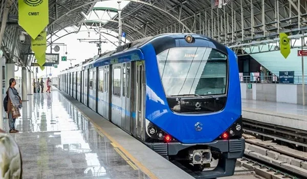
Namma Metro Blue Line (Airport City): Construction Update
Satellite Town Ring Road: What It Means for Devanahalli
Hoskote Land Rates vs Apartment Rates
What Is Hoskote Famous For?
Muddenahalli vs KIADB Aerospace Park
Award-winning Prestige apartment projects KIADB Phase 2
Latest updates on Prestige apartment projects, KIADB Phase 2
List of Prestige apartment projects KIADB Phase 2
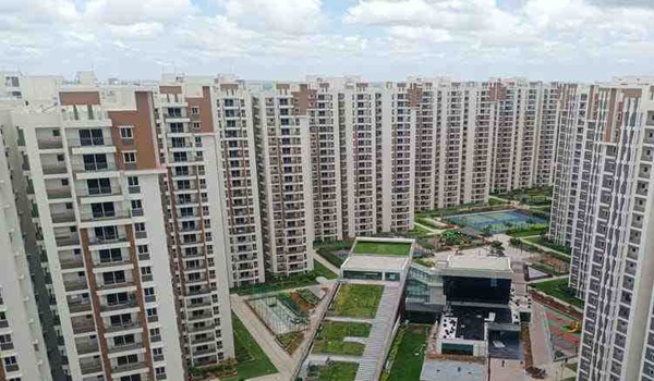
Lowest price Prestige apartment projects KIADB Phase 2

Luxury 3 BHK Prestige apartment projects KIADB Phase 2
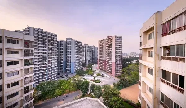
KIADB Phase 2

Bangalore airport metro opening in phases: dates and delays for Devanahalli

Buying property in North Bangalore: every area from Hebbal to the airport

What schools cost near Devanahalli and Yelahanka: 24 fee ranges
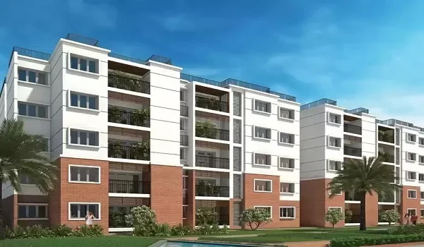
Companies near the Devanahalli aerospace park, and who can live close by
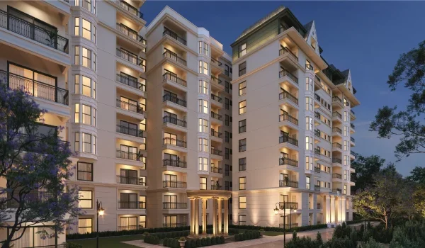
Devanahalli in 2035: what the committed spending actually points to
Devanahalli infrastructure: what is built, and what is announced
Devanahalli metro stations: the real list, the dates, and a myth
Devanahalli real estate appreciation: the number, and the case against
Devanahalli vs Whitefield vs Sarjapur Road: three corridors at three stages
Devanahalli's six property pockets, from the aerospace park to IVC Road
Foxconn and Wistron jobs at Devanahalli: who will actually need a flat
Roads and rail at Devanahalli: what is built, and what is a press release
Should you invest in Devanahalli in 2026? Growth, risks and a quick test
Water, power and drainage at Devanahalli: the questions nobody asks
What a 571 sq ft flat at Devanahalli actually rents for

Kempegowda International Airport and what it does to North Bangalore property
KIADB Aerospace Park Phase 2, Devanahalli: the complete guide
Owning a flat on KIADB land: lease-cum-sale, title and bank loans
Was KIADB Aerospace Park Phase 2 cancelled? What actually happened

Schools and hospitals near Prestige Parklane, with drive times

What daily life in Devanahalli is like: schools, healthcare, shops and travel

Industries & Work Hubs Near Hoskote

Schools, Malls & Hospitals Near Hoskote
1 BHK Prestige apartments for young professionals
Affordable Prestige apartments on KIADB Phase 2
Bangalore Prestige Luxury Apartments KIADB Phase 2
Best 2 BHK Prestige apartments under 1.5 Cr
Best deal in Prestige apartment projects KIADB Phase 2
Best luxury Prestige apartment projects on KIADB Phase 2 2026
Forest view Prestige apartment projects KIADB Phase 2
High ROI Prestige apartment projects KIADB Phase 2
Iconic Prestige apartment projects KIADB Phase 2
Investment in Prestige apartment projects, KIADB Phase 2
Large-scale Prestige townships on KIADB Phase 2
Living near NICE Road: Prestige apartment benefits
Muddenahalli Infrastructure Pipeline 2026-2030
Muddenahalli Land Rates vs Apartment Rates

Muddenahalli Real Estate 2026

2 BHK Apartments Near Bangalore Airport 2026

Best Apartment Projects Near Bangalore Airport 2026
New Launch Residential Projects in North Bangalore 2026
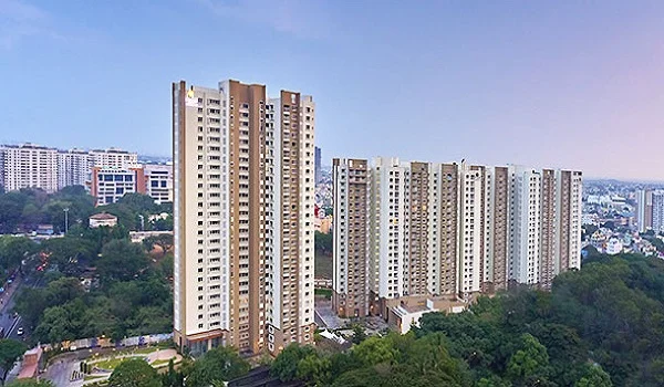
Top 10 Residential Projects in KIADB Phase 2 North Bangalore 2026
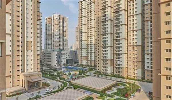
Top 10 Residential Projects in Yelahanka 2026
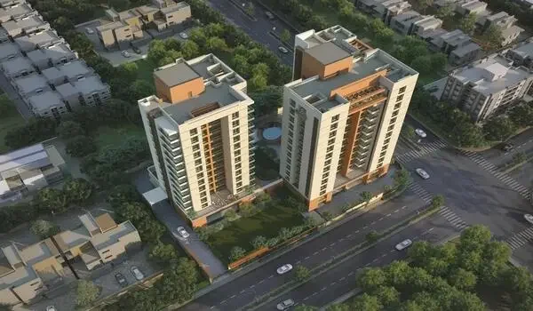
Top 10 Residential Projects Near Bangalore Airport 2026

Upcoming Residential Projects in North Bangalore 2026–2027
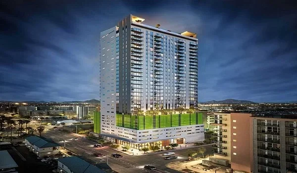
Best Apartments Near KIADB Aerospace Park Phase 2 Bangalore 2026
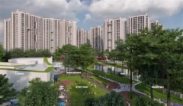
Employment Hubs Near KIADB Aerospace Park Phase 2
KIADB Aerospace Park Phase 1 vs Phase 2 Complete Comparison
KIADB Aerospace Park Phase 2 Location Map & Connectivity
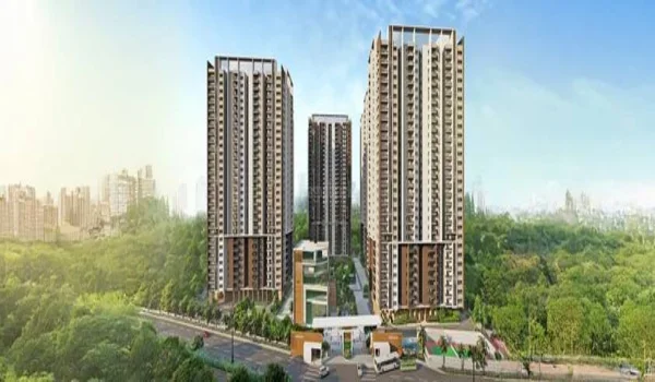
List of Companies in KIADB Phase 2 Aerospace Park Bangalore 2026
Top 10 Residential Projects in KIADB Phase 2 Bangalore 2026
Upcoming Infrastructure Projects Near KIADB Aerospace Park Phase 2 2026–2030
What is KIADB Aerospace Park? Location, Companies, Phases & Development
3 BHK Apartments Near Bangalore Airport 2026

Luxury Apartments Near Bangalore Airport 2026
New Launch Projects Near Bangalore Airport 2026

RERA Approved Projects Near Bangalore Airport 2026

Upcoming Projects Near Bangalore Airport 2026–2027
Devanahalli to Hebbal Distance, Route & Travel Time
Devanahalli to Manyata Tech Park Distance & Best Route
Devanahalli to Yelahanka Distance, Route & Travel Time

Devanahalli to Bangalore Airport Distance, Route & Travel Time
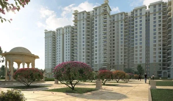
Major Roads and Highways Connecting KIADB Phase 2 Devanahalli – 2026 Update
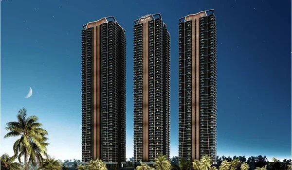
Metro Connectivity Near Devanahalli: Latest 2026 Update
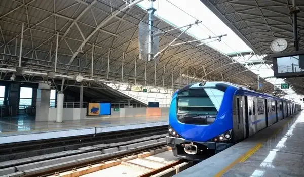
Nearest Metro Station to KIADB Aerospace Park Phase 2
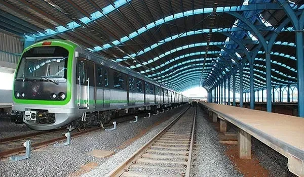
Nearest Metro Station to Prestige Parklane

North Bangalore
New Launch Apartment In North Bangalore 2026
New Launch Apartment In Yelahanka 2026

New Launch Apartment On Airport Road 2026
Prelaunch Apartment In Bangalore 2026
Prelaunch Apartment In North Bangalore 2026
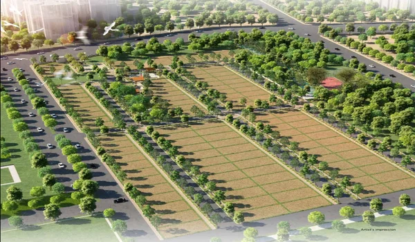
Buying an Apartment vs Plot in Devanahalli – Which Makes More Sense?
KIADB Aerospace Park Phase 2 to Hebbal Distance and Route
2 Bed Flats in Prestige Devanahalli: Sizes, Prices and Buying Guide
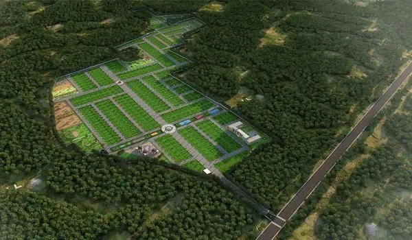
Devanahalli Land Price Per Sq Ft 2026: Quick Comparison with Prestige Parklane

KIADB Aerospace Park Phase 2 to Bangalore Airport Distance
KIADB Aerospace Park Phase 2 to Devanahalli Distance
Upcoming Residential Projects in Devanahalli 2026–2027
KIADB Aerospace Park Phase 2 to Manyata Tech Park Distance
KIADB Aerospace Park Phase 2 to Yelahanka Distance
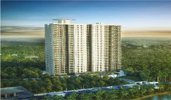
New Launch Residential Projects in Devanahalli 2026
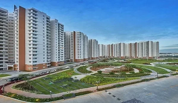
RERA-Approved Residential Projects in Devanahalli 2026 Launch
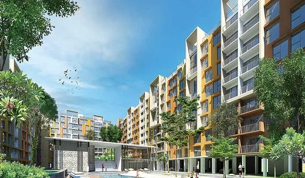
What Is the Average Apartment Price in Devanahalli in 2026?
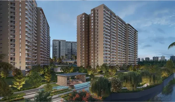
Advantages Of Investing in North Bangalore
Are There Any Ready-to-Move Prestige Apartments in KIADB Phase 2?
Top 10 Residential Projects in Devanahalli 2026
Construction Status of Prestige Apartment Projects, KIADB Phase 2
Compare Prestige Apartment Projects, KIADB Phase 2
Best Time to Buy a Prestige Apartment in South Bangalore
Buy New Prestige Apartment Projects, KIADB Phase 2
Commute from KIADB Phase 2 to Bannerghatta Road
Comparison: Prestige Primrose Hills vs. Prestige Park Ridge
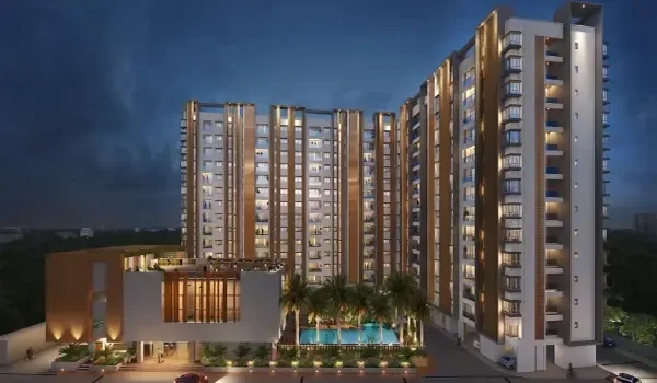
Completed Prestige Apartment Projects, KIADB Phase 2

Bengaluru Airport City
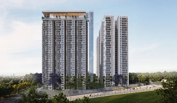
Vijayapura in Devanahalli Taluk
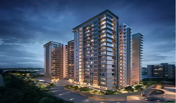
Affordable luxury homes in Devanahalli
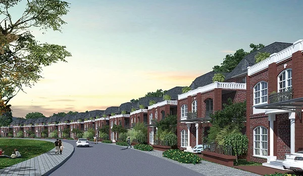
Duplex in Prestige Apartment Projects in KIADB Phase 2
Exclusive Prestige Apartment Projects in KIADB Phase 2
Explore the neighbourhood in detail
Download the brochure for a full connectivity map or speak with our sales team for directions to the site.